Info & Conditions
Plan your visit
Site directions, the welcome pack and the risk assessments you need before you book.
Finding us
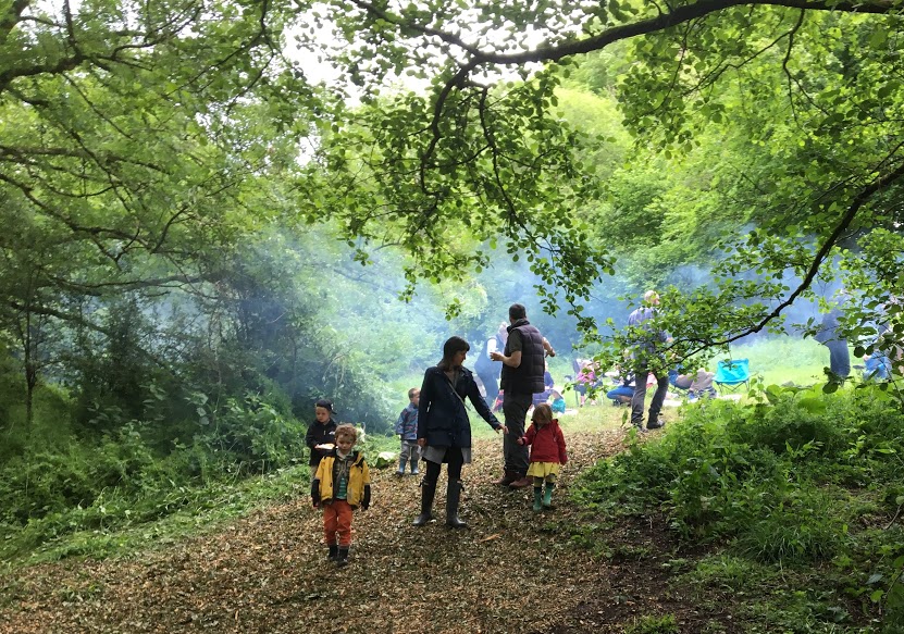
We’re in a Cotswold valley near Gloucester.
- Postcode
- GL4 8HP
- Coordinates
- 51°48′57.7″N 2°09′10.9″W
- What3Words
- chainsaw.tame.partied
- Google Maps
- Open in Google Maps →
- From M5
- Junction 11a
- From M4
- Junction 15
Important: the roads close to Cranham are very narrow — please drive carefully.
Documents
All visitor documentation is available on request — email bookings@scoutcentre.org.uk for the latest copies.
✦
Visitor information
- Welcome Pack (full facility details)
- Cranham Site Map (PDF)
✦
Booking & operations
- Terms and Conditions 2025
- General Site Risk Assessment
Activity risk assessments
- Air rifle range
- Archery range
- Tomahawks and small hawks archery
- Traverse Wall
- Sumo Wrestling
- Quiz Walk & Site Photo Quiz
- Team Building
- Orienteering
- Grass Sledging
- Night line blindfold trail
- Cross Bows
- Bushcraft and Camp Craft
- Cave bus
Firearms compliance
- Under 18’s Rifle Shooting Declaration & Consent
- 18+ Rifle Shooting Declaration Form
- Air Rifle Permission & Authorisation Form